Merging imagery from two aircraft on the same search sector
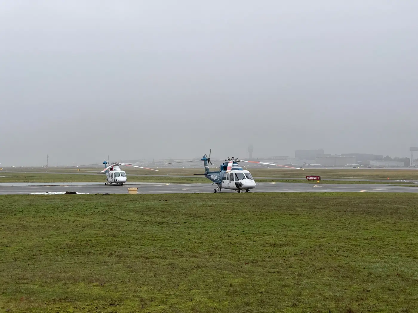
When a sector gets split between two airframes, a drone working the near grid while a fixed-wing covers the far half, or two aircraft converging on a shared boundary from opposite ends, you end up with two separate image sets that both claim to cover the same ground. Before anyone can mark that sector cleared, those two sets have to come together into something one person can review without flipping between folders. Here's what that process looks like once the aircraft are back and the clock on next tasking is already running.
Why two aircraft never produce one clean picture
Different airframes rarely fly at the same altitude, speed, or camera angle, even when they're working the same grid. A drone running sub-10 cm GSD at low altitude captures ground detail a crewed aircraft at higher altitude simply won't resolve the same way. Sun angle shifts between sorties too, especially if one flight launched at first light and the second didn't get airborne until midmorning. Same patch of brush, same hour of search time, but the shadows fall differently in each set.
Timestamps and GPS logs are also aircraft-specific. Each platform records its own flight track and its own frame metadata, so "where was this photo taken" isn't automatically comparable across the two sets until someone georeferences both against the sector grid instead.
The real risk sits at the handoff line. If tasking didn't give both aircraft a tight, well-communicated boundary, you get one of two problems. Either the coverage overlaps and a candidate appears twice under two different coordinates, which costs review time without costing safety. Or a thin strip between the two flight paths never gets flown by either pilot, and because both debriefs report full coverage of their own half, that gap is the one nobody catches until someone asks why the search area map has a seam nobody double-checked.
Putting both sets into one reviewable pass
The order a coordinator would run these steps during debrief:
- Pull the GPS track and timestamp log from both aircraft before touching the imagery itself. That log shows where the handoff line fell in practice, separate from where the tasking order placed it on paper.
- Georeference both image sets against the sector grid instead of each flight's own frame of reference. A frame from the drone and a frame from the crewed aircraft then line up by location on the grid, whichever sortie flew it.
- Treat the overlap strip as its own review pass. It's the stretch most likely to hold either a duplicate hit from both aircraft or a gap where coverage from one platform ends before the other's begins.
- Merge the output into a single list ordered by coordinate, not by source aircraft. A coordinator working a debrief under time pressure shouldn't be flipping between two folders trying to remember which pilot flew which half.
Combining a drone sortie with a crewed-aircraft sortie over the same sector is routine enough on long searches that it's worth having a standard way to do step 4 before the next tasking cycle starts, rather than improvising it fresh every time two platforms share a grid.
That's the part Search & Rescue Imagery is built around. It takes the detection and similarity search already running against a single sortie's frames and extends it across overlapping coverage, so a candidate flagged near the handoff line from the drone pass and a similar-looking frame from the crewed-aircraft pass land next to each other in one ranked list, sorted by location with a similarity score against any confirmed hit, instead of sitting in two separate folders waiting for someone to notice they're the same spot.
If your sectors are routinely split across two airframes, it's worth seeing how that merged list looks against your own imagery.