Post-sortie imagery triage for SAR teams
Review the sector from a ranked list, not a card full of frames.
Search & Rescue Imagery runs detection and similarity search over the drone or aircraft imagery from your sortie and hands the search planner a short candidate list: coordinates, thumbnails, ranked. Your people look at that first.
The job today
The hours after the drone lands
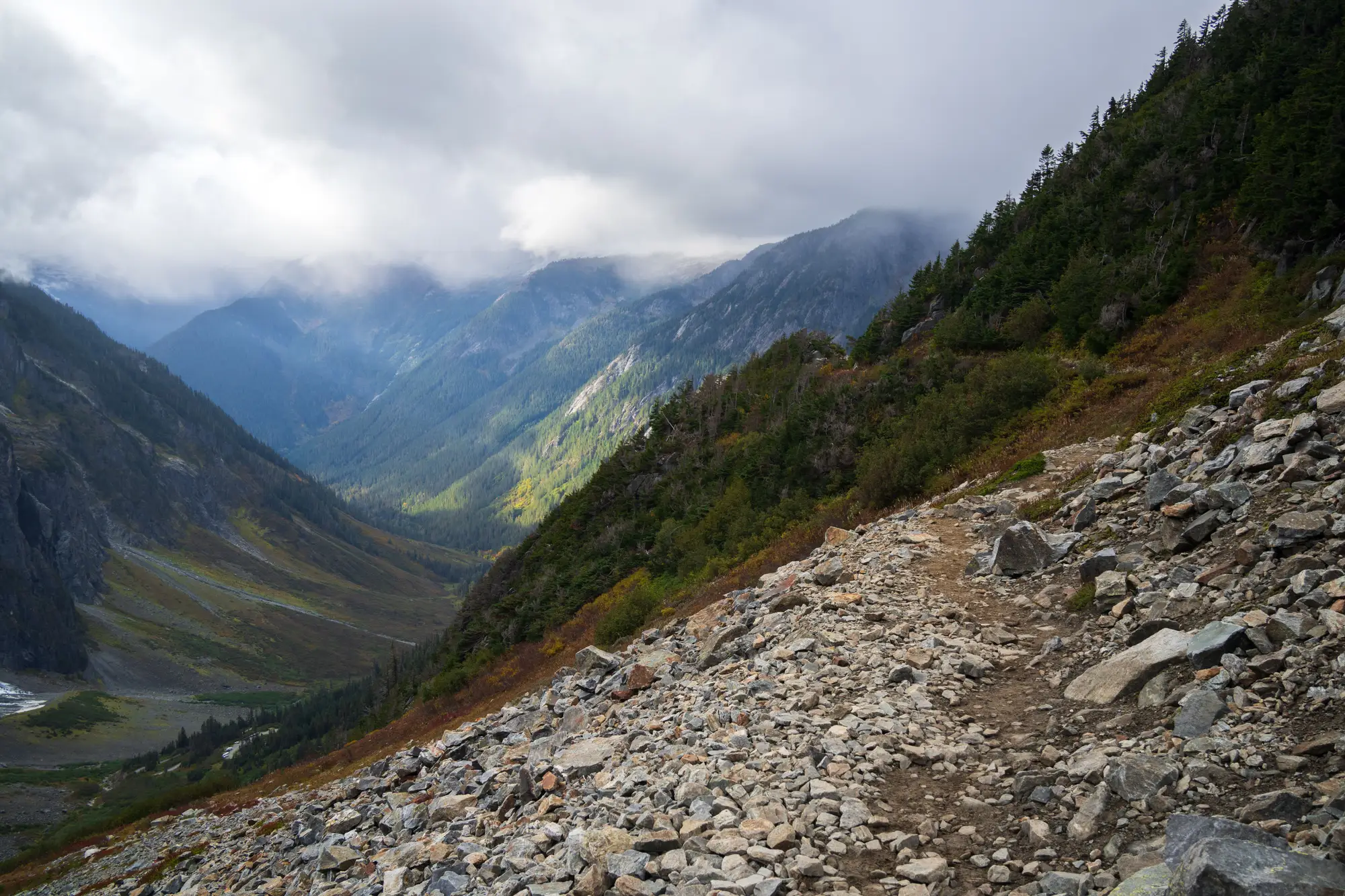
The sortie comes back, and the work that matters most is waiting on a memory card. Somebody at the command post loads the frames onto a laptop, and the review starts: one image at a time, or in a grid, zoomed in on a stretch of brush or scree or field edge, looking for a color that shouldn't be there, a straight line in the wrong place, a shape that could be a pack or a person lying down. It is slow, and everyone doing it knows it.
The reviewers are often volunteers who have already been up since the call came in. The search planner needs the sector marked done or not done before the next briefing, and needs the time for writing the next assignments. Those two jobs draw on the same hours. When the sortie is long, or another one is already in the air, the review either runs behind the flying or gets cut short, and a sector goes onto the map as searched because someone looked, not because everyone agrees it was seen.
Nothing here replaces the people who go on foot, or the incident commander's judgment about where they go. What changes is the order of the work. The imagery gets a first pass before anyone scrolls, and the people who review start with the frames most worth their time.
What you get
What comes back after a sortie
2.1Candidate list
CSV plus map layer
Ranked detections for the sector you flew, each with coordinates, the source frame and a thumbnail crop. It arrives per sortie and goes straight to the search planner, who can open it in the mapping tool the team already uses and hand the top of it to the reviewers.
2.2Similarity search
Per confirmed hit
When a reviewer confirms something that matters (a jacket, a pack, a tarp), mark it as a confirmed hit. The service surfaces everything else in the sortie's imagery that looks like it, ranked by a similarity score against that hit. If the same jacket shows up in another frame, it should rank near the top.
2.3Coverage overlay
Map layer
A layer showing the ground the imagery actually covers, sortie by sortie, so the debrief can say what was seen and what was missed, instead of what the flight plan intended. Gaps from wind, battery swaps or a lost track line show up as gaps.
Four steps
How it works
Define the sector
You send the search sector boundary for the sortie.
Fly the sortie
Your own drone or crewed aircraft flies it as planned. We don't fly for you and we don't change your track spacing.
Detection and matching
The imagery goes in after landing. Detection runs over the frames, then similarity search once a reviewer confirms a hit.
Candidate list to the planner
The ranked list, thumbnails and coverage layer go to the search planner, who reviews the top of it first and records what was confirmed.
Where it fits
Between the sortie and the briefing
The list sits in the gap between the drone landing and the next briefing. It feeds sector prioritization and the debrief, next to the ground teams' reports and the last known position. It narrows where people look first. Sectors still get marked searched by your planner, and ground search, dogs and the incident commander's decisions all stay exactly where they are.
All six, collected
Limits
- L1
It confirms nothing
A candidate is a place to look. It is not a find, and no candidate becomes one until a person on your team looks at the frame and decides.
Noted beside What comes back
- L2
Only as good as the imagery
The list is only as good as the sortie's imagery and coverage. Blur, glare, low sun, heavy shadow or a gap in the flight track all reduce what can be seen, and we show that in the coverage layer instead of hiding it.
Noted beside What comes back
- L3
Resolution floor
The service is built for imagery finer than 10 cm per pixel. At that scale a person is a handful of pixels across, and small items of gear are fewer. Coarser imagery is outside what this is built for.
Noted beside How it works
- L4
Daylight and RGB only
This runs on visible-light imagery. It does not work at night or in low light, and there is no thermal band in this offer.
Noted beside How it works
- L5
Cover hides things
Dense canopy, overhangs, tall grass and debris hide a subject from a camera overhead, and no ranking fixes that. Those sectors still need someone on foot.
Noted beside Where it fits
- L6
No probability numbers
There are no detection probability figures on this page and none will be quoted. How thoroughly a sector was searched stays a judgment your planner makes.
Noted beside Where it fits
And who it isn't
Who it's for
For
- SAR mission coordinators and search managers who fly drones or use aircraft imagery over search sectors
- Search planners who run the post-sortie review and the debrief
- Teams that already have the imagery and not enough hours to go through it
Not for
- Live video during a flight. This works on imagery after it lands.
- Night, low-light or thermal search
- Anyone hoping to replace ground teams, dogs or the incident commander
- Teams without their own drone or aircraft imagery to send
FAQ
Questions before a pilot
Does this find the missing person?
No. It narrows a large area to a short list a person reviews. It confirms nothing on its own.
Does it replace ground teams?
No. It is a triage step that points reviewers, and then ground teams, to the most useful places first.
Does it work at night or in low light?
No. It is RGB optical imagery and needs daylight and reasonably clear conditions. There is no thermal band in this offer.
What imagery resolution do I need?
Drone or aircraft imagery finer than 10 cm per pixel. Coarser imagery is outside what this is built for.
How fast is the list ready?
It depends on how long the sortie was and how big the sector is. Tell us about your typical sortie and we'll say what to expect for it.
How do we check it against our own review?
Pick a sortie your team has already reviewed by hand and send it without your results. Compare our list with what your reviewers found and decide whether the ranking earns a place in your process.
Who owns the imagery and the results?
Rights to your imagery and to the list are written into the pilot agreement before any imagery is sent. Ask for the terms early if your county counsel needs to review them, since this is often sensitive material.
Will it open in our mapping tool?
The list and the coverage layer come as files that standard mapping tools open. We don't write into your incident system directly.
How is a pilot bought and priced?
Pricing depends on the amount of imagery and how you want to run the pilot, and we scope it with you. Tell us how your agency buys services and we'll fit the pilot to that.
Next step
Put your next sortie's imagery through it.
Tell us what you fly, how large your sectors run and how you review today. We'll say plainly whether a pilot fits.